Pin Parvati Trek is a thrilling crossover with beautiful natural passages in Himachal Pradesh. A demanding but rewarding trekking point for trek lovers.
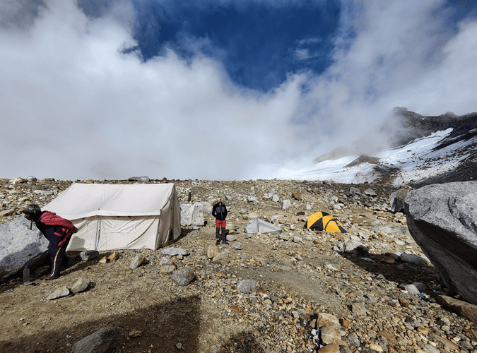
Day 01 : Drive Manali to Kaza
Day 02 : Acclimatization day at Kaza
Day 03 : Drive to Mudh. trek from Mudh to Tiya
Day 04 : Tiya to Shia
Day 05 : Shia to Pin base camp
Day 06 : Pin base camp to Mantalai Via Pin Parvati Pass
Day 07 : Full Day rest at Mantalai
Day 08 : Mantalai to Thakur Kuan
Day 09 : Thakur Kuan to Tunda Bhuj
Day 10 : Tunda Bhuj to Kheerganga
Day 11 : Kheerganga to Barshaini Drive to Manali
Day 12 : Buffer day
Transportation from Manali to Kaza to Mud and Barsheni to Manali
Stay in Guest house/Hotel/Camps
Stay in Alpine or Dome tents during the higher treks
Trekking mats along with sleeping bags
Hygienic vegetarian meals Breakfast Lunch and Dinner. Meals will be prepared fresh every morning and evening. Chinese, Continental, Indian.
Cooks and helpers and required staff
Equipments required for executing and completing the trek
First Aid Kit
Forest permit and camping charges
Experienced and qualified trek guide
Transportation from delhi or chandigarh for back to your destination
Any charges to visit monument or heritage space or photography on any place
Medical insurance, travel insurance, emergency or anything
Beverages or drinks or water bottles
Helicopter evacuation,
Any additional activities not mentioned in itinerary
Here is the detailed Itinerary for Pin Parvati Pass Trek
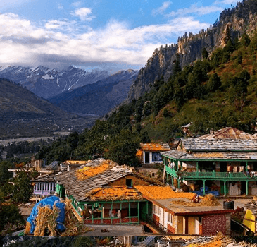
Altitude: 6,800 ft. to 12,505 ft.
Drive distance:182 kilometers
Drive duration: 7 to 8 hours
Catch an overnight bus from Delhi and reach Manali the next day. You will be receiving the pick up facility from Manali at around 6 am. Since the Rohtang pass and Kunzum pass are known for their notorious traffic, it is recommended to leave early. It will probably take 10 to 12 hours to reach the Base Camp, Kaza. Today, you will take a rest and relax with camp members.

Altitude: 2,505 ft.
Trekking distance: 2 kilometers
Time took: 1 to 2 hours.
Trekking difficulty: Easy
Kaza is the base camp from where you will be traveling to Kibber. The distance between Kaza and Kibber is about 1 hour. Kibber is the most historical and wonderful village that has cultural values. Kibber village is known as the highest inhabited place in the world. The village is home to snow leopards and Siberian Ibex. It has typical Himachali-style homes. It is indeed fun to explore the village.
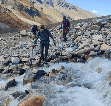
Day 2 will be spent as acclimatization. It will be necessary to spend one day in Kaza to adapt to the weather conditions as the oxygen level will be lower. You cannot start the trek as soon as you reach it as it can lead to asphyxiation and it can become severe. Therefore, relax and explore nearby places.

Altitude: 12,300 ft. to 12,800 ft.
Drive distance: almost 48 kilometers
Drive duration: 2 hours drive.
Trek distance: 3 kilometers
Time duration: 2-3 hours trek.
Trekking difficulty: easy
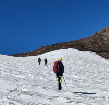
From Kaza, you need to drive to Mudh village. Mudh is about 48 km away from Kaza. It takes almost 3 hours to reach Mudh. From Mudh village, you will be starting your trekking journey. After trekking for 3 hours, you will reach Tiya.
Mudh village is beautiful and it gives you the most delightful trekking as compared to other treks. There are no villages in between till you reach Parvati valley.

Altitude 12,800 ft. to almost 14,770 ft.
Trekking distance: 4 to 5kilometers
Time took: 5-6 hours
Trekking difficulty: easy
On the fourth day, you will be traveling to Shia from Tiya. You must start trekking as early as possible. On the way, you will go through glacial streams. The glacial streams become hard while crossing during the midday. You will have to walk a long distance and go via ice-cold streams which will make the feet freeze.
You need to be careful as Shia is a landslide prone area.
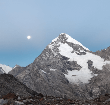

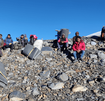
Altitude: 14,770 ft. to 15,781 ft.
Trekking distance: 5 kilometers
Time taken: 5-6 hours
Trekking difficulty: moderate
On the fifth day, you will start by crossing the cold pine rivulet. It is a bit difficult to cross the pine river as it is cold. The river bed consists of hard rocks and pebbles on the way. Hence, it is necessary to be careful while crossing the river bed.
Once you cross the river, you will trek for 5 to 7 hours on a steep mountain with a height of 1,700 ft. It's difficult to climb a steep ascend so you have to be careful. You will be set up at the Pin base camp. Pin base camp is situated 1,000 ft below the Pin Parvati pass.

Altitude: 15,781 ft to Pin Parvati pass 17,457 ft. to 13,440 ft.
Trekking distance: 12 kilometers
Time taken: 12 hours.
Trekking difficulty: hard
You need to pass the Pin base camp as soon as possible. This is because as the day passes, it becomes difficult to pass. It is indeed an incredible experience on the Parvati Pin. The view of Parvati Pin is mesmerizing and you can cross Parvati glacier which is entirely crevasse. The Parvati base camp is similar to the Pin base camp and it is a chilled place. Later on, you will go towards Mantali. Mantali is stream, steep, and boulder.
You need to cross ice-cold water barefoot at Mantali with all rocks and pebbles. Once you reach, you will set up a campsite and campfire and enjoy with the trekking buddies.
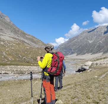

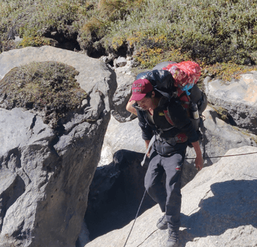
On the seventh day, you will wake up to the most amazing and alluring view. The beauty of the campsite is very unique and it will rejuvenate you. The glorious sunrise and calming sunset make your day worthwhile during camp.

Altitude: 13,440 ft. to 12,412 ft.
Trekking distance: 9 kilometers.
Time taken: 6-7 hours
Trekking difficulty: moderate.
The next morning on the eighth day, we will be heading towards Thakur Kuan. In between, we will be passing through the prettiest and one of the easiest downhills viz Meadows of Odi Thatch. You will come across multiple terrain regions and finally, you will cross multiple streams. Further, you will be able to find the Parvat rivulet on the left side and it is indeed very attractive. Also, you will get to explore big forest areas and beautiful meadowland. From here, you will enter the Thakur Kuan region. Thakur Kuan is a region surrounded by orchid flowers, plants, and small trees.
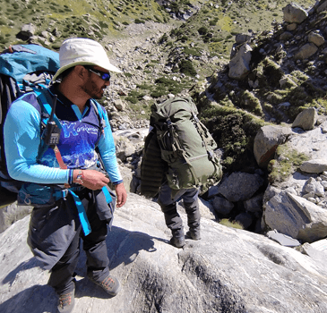
The Pandu bridge is something you need to cross while reaching Thakur Kuan. It is the most tricky patch that comes 2.5hours after the start of the trek. It is highly recommended that trekking groups must stay together.
There are many water points you can explore and also do camping activities here. You will reach Thakur Kuan and which is at a height and altitude of about 11,700 ft above sea level.

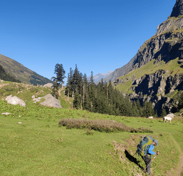
Altitude: 12,412 ft. to 10,500 ft.
Trekking distance: 6 kilometers
Time taken: 7 to 8 hours
Trekking difficulty: Moderate
The next day we will initiate a trek to Tunda Bhuj. The trek is a narrow and slippery path that directs you to the valley floor. Tunda Bhuj is a meadow steeply. You can get spectacular and amazing views of nature, waterfalls, black rocks, and valleys. You can stay here in Tunda Bhuj for the night, and enjoy camping and dinner with trekking partners.

Altitude: 10,500 ft. to 9,120 ft.
Trekking distance: 12 kilometers.
Time taken: 7 to 8 hours.
Trail type: Himalayan trail.
Trekking difficulty: challenging.
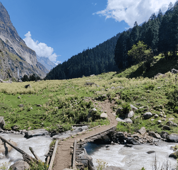
You will be initiating your day by crossing the bridge near the Parvati rivulet. Also, you will be going through many pasture lands and empty trails. Also, you will find the open lands of the Parvati valley. The first trail is known as the Ramkund trail.
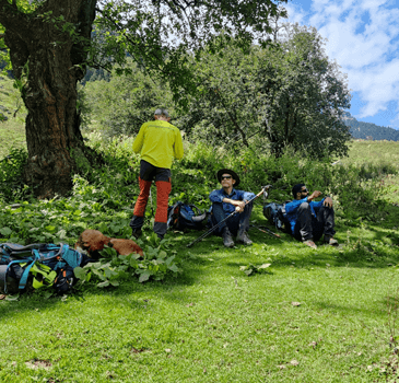
Further, you will find civilization-like small huts of residents. You will also find a Dhaba near Kheerganga. When you reach Kheerganga, you will like the trekking as there are many restaurants and cafes. Also, you will find people for trekking. You can enjoy nature and play music while trekking. You can also jump into a hot water spring and have a marvelous experience.

Altitude: 9,120 ft. to 7,252 ft
Trekking distance: 9 kilometers
Time taken: 4 hours
Trekking difficulty: easy
It is indeed the last day of trekking along with traveling 7 km. You need to reach Barshaini from Kheerganga. There are several buses from Barshaini to Kullu. You need to pay additional charges for a trip to Kullu. It takes almost 3 hours to reach Kullu. On the same day, you can leave for your home.

The buffer day is the day where, if you wish, you can stay in Kullu to explore the places and beauty of the same. It is kept as an option and you need to spend additional charges for the buffer day and extra day to stay in Kullu.
© 2024 All Rights Reserved - Mountains Heights